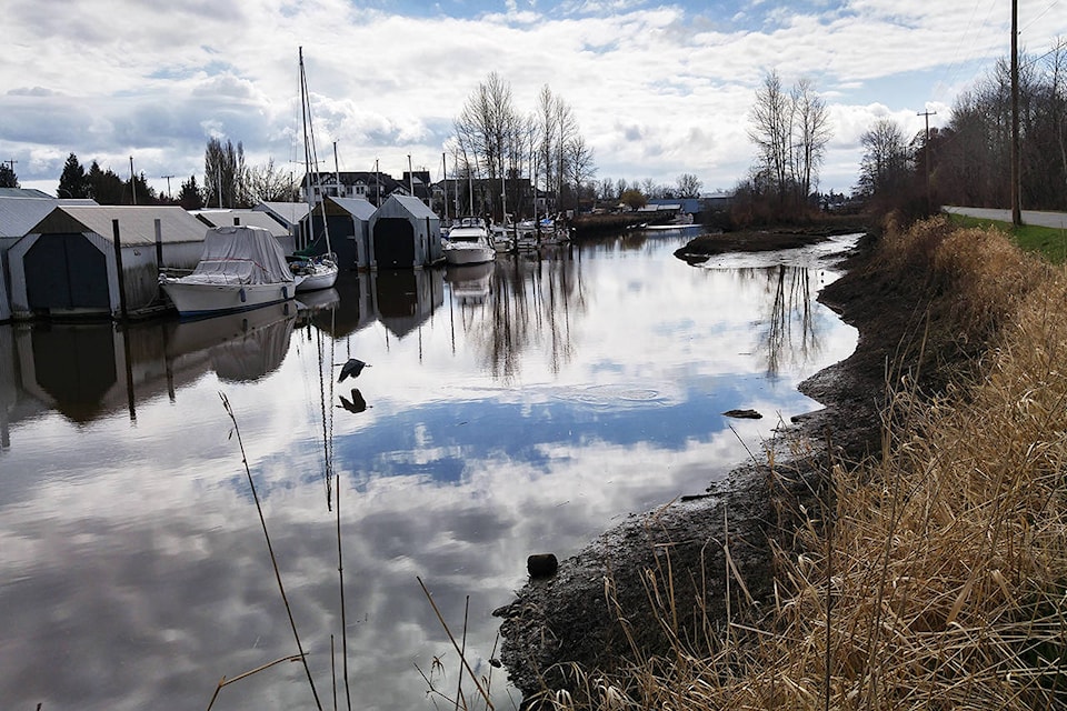
Delta could be at an increased risk for localized flooding inside the dykes over the coming weeks, as spring weather accelerates snow melt in higher elevations.
“We’re looking at a bit more of a challenge this year compared to the last years,” deputy director of engineering Hugh Fraser said, noting there is some flooding expected for the foreshore areas inside the dykes.
So far this year, areas in the Fraser River basin have seen higher than normal snow pact, which is leading to severe flooding in other parts of the Fraser basin. The wet and cold beginning of April saw more snow than usual in some areas of the basin, while the steep increase in temperature has caused an early spring melt.
RELATED: 5 things to know about B.C. Floods 2018
“We’re expecting a larger-than-normal freshet this year, and we’re really starting to see that,” Fraser said. “The melt is earlier and much more rapid this year.”
Evacuation orders have already been given out for three properties in Chilliwack, while an evacuation alert has been issued for Northwest Langley.
The river’s flow gauge in Hope is seeing 8,400 cubic metres of water go past each second as of May 10. The average is between 8,000 and 10,000 cubic metres per second. The current forecast expects the gauge to reach above 12,000 cubic metres per second by the end of May, and possibly higher.
The flood of 1948, which saw between 40 and 60 acres of Westham Island washed away, was at 15,180 cubic metres per second.
According to Fraser, it is the flow rate that is of most concern for Delta. Although water levels at the Mission gauge were at 4.8 metres on May 10, that is less worrisome than the velocity of the water.
“We have the freshet coming down the river with very high flows, but on an ebb tide, in essence the flow and the velocity double, because all of that water has to rush out to [the] Georgia Strait,” Fraser said.
“There’s so much flow coming down, there’s so much debris, we really have to keep an eye on the dykes,” he said. “In the past, for example in the ‘48 flood, there was significant erosion in select areas of the community, and that’s then what led to flooding within Delta.”
Currently, Delta is in Stage-1 of its flood plan, which involves inspecting the dykes and organizing sandbags, concrete blocks and barriers.
Should the Mission gauge reach six metres, Delta will begin daily dyke inspections and increased preparedness. Stage-3, which involves notifying the public and evacuating high-risk areas, will come into effect if the gauge reaches seven metres, but that is not expected.
grace.kennedy@northdeltareporter.com
Like us on Facebook and follow us on Twitter